
Search Pottstown Streets by Address
Begin a Pottstown street search with the Montgomery County address tool, not with a name. It is designed to locate a current property record and its parcel identifier. The result can connect a street number to a tax-map record and a current owner representation, but it does not establish every person who lives there. The County map can then place that parcel among the surrounding street segment. The Recorder of Deeds supplies the recorded title trail, while Borough permit material and dated directories can add a narrower historical layer.
- Open the County Property Records address search and enter the street number and street name. Select POTTSTOWN when the municipality choice is needed, then retain the exact property address and parcel ID from a matching result.
- Check the property card's location, parcel data, and last-sale references. Treat an owner mailing field as correspondence information, not proof of who occupies the site.
- Use the County Interactive Tax Map to view the selected parcel in its street context. A map click can expose a TAXPIN or alternate ID and a link back to property records.
- Create an account for the Recorder's Public Access System and search by address, parcel ID, or recorded party. Copy the document placement and any prior-reference language before moving to an earlier deed.
- For a defined building, code, or permit question, contact Pottstown Licensing & Inspections or make a specific Right-to-Know Law request. The reviewed Borough permit page does not establish an online permit-results database.
- For an older address, inspect an actual Pottstown directory, criss-cross volume, telephone listing, newspaper item, or map. These are date-specific sources and should not be used as current occupancy evidence.
Voter records have controlled inspection and request rules under Pennsylvania election law. They are not a public street-browse tool, so a Pottstown street directory should not turn an address list into a roster of nearby people.
Pennsylvania's voter registration-status form is shown in this Pottstown source image.
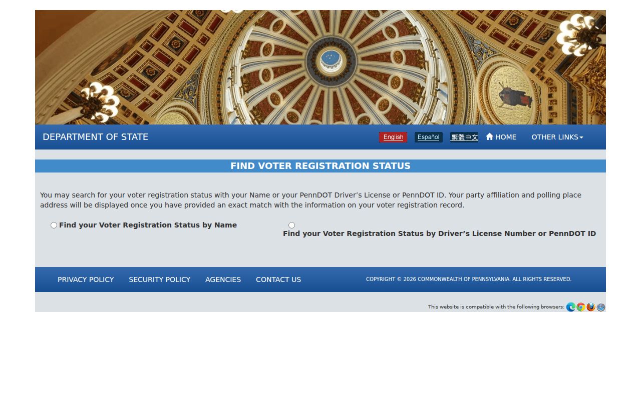
The form helps an individual check registration status. It is self-status only, not a general street roster, and it does not authorize browsing people by Pottstown address.
Pottstown Street Directory Property Fields
Montgomery County Property Records is the present-property starting point for a Pottstown street directory. The County exposes address, parcel, advanced, map, and sales routes, while stating that owner-name searching has been removed. Its disclaimer matters: parcel data and imagery are informational and visual, and they are not a title search. Match a likely parcel here, then use the Recorder for the recorded instrument behind the entry.
The Montgomery County Property Records home page is also preserved in this source image.
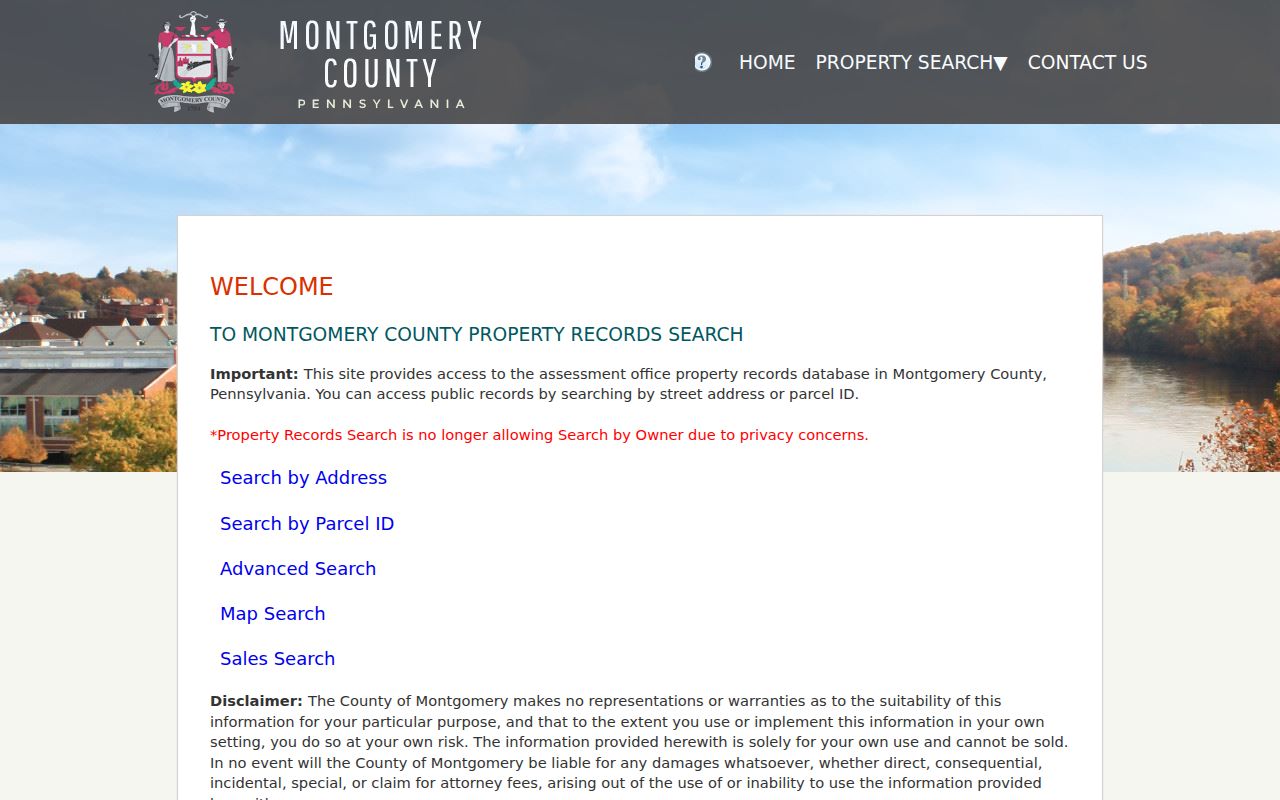
The page's Property Search navigation directs an address question to the County search routes. That is the right first step before a Pottstown street record is compared with a map, permit file, or recorded document.
| Property search field | Published format | Useful result context |
|---|---|---|
| Number | Optional text, up to 6 characters | Pairs with the street name for a Pottstown address. |
| Direction | Optional selection, including E, N, NE, NW, S, SE, SW, and W | Separates similarly named streets. |
| Street | Required text, up to 20 characters; * wildcard allowed | Primary street lookup key. |
| Suffix and Unit # | Official suffix selection; unit is optional text up to 6 characters | Refines an address where those details apply. |
| Municipality | Optional selection, including POTTSTOWN | Limits a street query to the Borough. |
| Parcel ID | Required on its own route; 12 digits without hyphens; * wildcard allowed | Bridge between the parcel result and Recorder search. |
The official address-search route is shown in the County capture below.
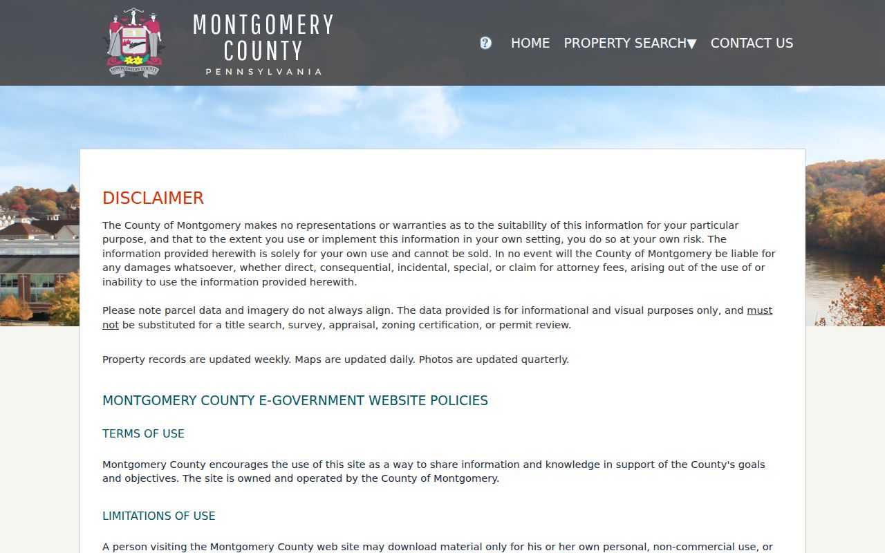
A browser may first require agreement to the County's search disclaimer. Results can be sorted by Parcel ID, Owner Name, Property Address, Sales Date, Sales Amount, LUC, or Altid, but a sorted result remains a property-record lead rather than household evidence.
Property cards document a useful inventory: Profile, assessment history, lot, map, permits, photos, sales, sketches, and splits or combinations are listed tabs. Profile material may show TaxMapID, PARID, property location, municipality, utilities, and assessment facts. The last-sale area can show sale date, price, tax stamps, deed book/page, grantor, grantee, and recorded date. Those fields identify a parcel and a recorded transaction trail, not a full street directory of people.
Pottstown Street Map Records
The County's map adds the spatial check that an address search lacks. At an appropriate scale, its Interactive Tax Map shows parcels as red outlines and address points as red circles or numbers. Search, share, zoom, pan, home/default extent, and legend controls are documented. Selecting a parcel can expose a TAXPIN or alternate ID and a property-record link. Use that connection to confirm the same Pottstown parcel before relying on a street result.
The official Property Records map-search entry point is captured here.
The County Address Points layer also carries structured address and ZIP information, plus historical-number, historical-name, address-change-date, legacy-street, and neighborhood-community fields. Those fields can suggest a second Pottstown search term, but the County map is still not title evidence. Cross-check a parcel against its property record and, where ownership matters, the recorded document.
Note: A selected map parcel helps identify a property, but only the recorded instrument can support a title-chain conclusion.
Pottstown Street Directory Deed Trail
The Montgomery County Recorder of Deeds is the Pottstown street directory's ownership source. Its public corpus begins September 10, 1784, and includes deeds, mortgages, satisfactions, plans, powers of attorney, notary commissions, and related land documents. After account creation, the Public Access System accepts name, address, parcel ID, book/page, and other criteria. A deed connects recorded parties to an instrument and a property description. It does not establish that either party currently occupies the address.
The Recorder's Public Access System instructions appear in this Pottstown street directory source image.
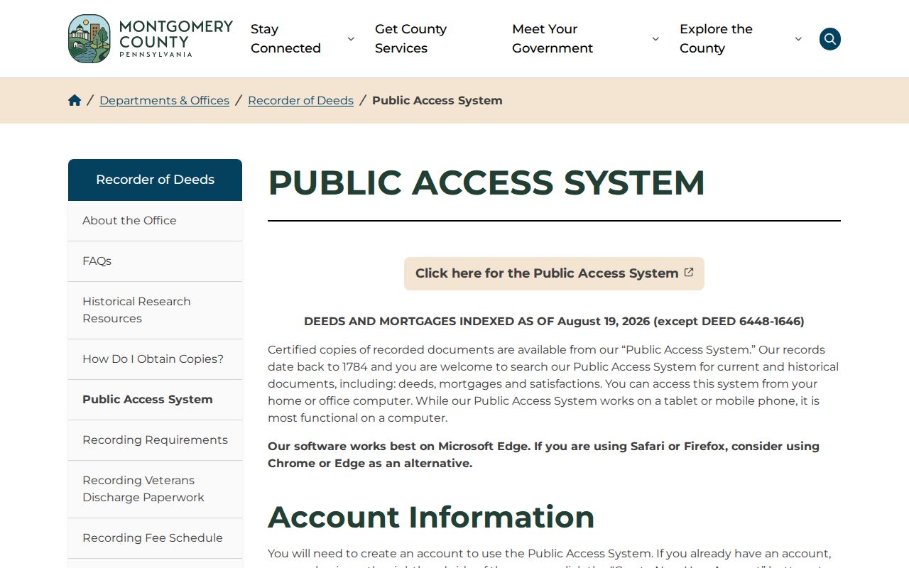
Remote viewing is subscription-gated, so an index hit and a readable image are different access steps. The Recorder offers free office computers for document searching, while phone staff may provide general information but may not conduct a search. A precise mail-copy request needs the owner name, street address with municipality, parcel ID, book/page if known, and requester contact information. County Archives microfilm and historical resources provide another route when an online record does not resolve the question.
For a backward trail, record the grantor, grantee, recording date, document or book/page, property description, and each prior reference. Search the prior grantor's acquisition using the legal description and parcel context. That avoids mistaking another parcel with a similar address or a similar party name for the same Pottstown property.
Pottstown Address Permit Channels
Pottstown Licensing & Inspections is the Borough source for permit context at an address. The research supports permits as evidence of work, applicant or owner-authorization context, and dates. It does not support a claim that a searchable online permit-result system exists. Start with a defined address, date range, and document type, such as a permit, inspection, approval or denial, plan, or related correspondence. A narrow request gives the custodian a record it can identify.
Pottstown's official Permits page is the source for this Borough access channel.
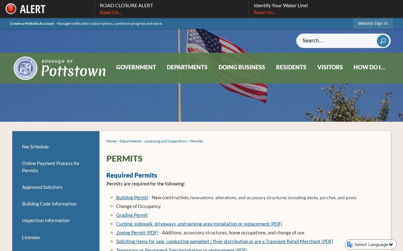
The Borough Archive Center offers keyword, archive, time-period, and start/end-date searching across several municipal categories. If the needed record is not online, the Borough Right-to-Know Law form offers inspection, copy, certification, and email-copy choices. Pennsylvania's Right-to-Know Law generally calls for a response within five business days, subject to the law's permitted interim response process and exemptions.
Pottstown Street Names Changed
Postal labels and Borough street history do not always move together. Pottstown's official streets appendix says O Street became Quinter Street in 1924 and P Street became Rowan Alley that same year. It also records Water Street as Industrial Highway between Moser Road and Hanover Street in 1967. Paper Street was ordained and vacated between Lincoln Avenue and Spruce Alley on February 9, 2026. These changes are practical search terms for a Pottstown street directory, particularly when an older document uses a name that no longer appears in a current property form.
The Borough also records annexations from Lower, Upper, and West Pottsgrove in 1930, 1942, 1962, and 1966. Use the Borough's Directory, Street, and Ward maps together with parcel and legal-description clues. No Borough-wide street-renumbering event was verified, so an old number should be checked against its historical street name rather than assumed to have been renumbered.
Note: Old street names are search leads, not proof that a modern parcel is the same historical site.
Pottstown Street Directory History
Historic Pottstown address evidence lives in collections, not in the modern parcel screen. The Pottstown Historical Society says its books include Pottstown City Directories, church histories, Borough tax and legal records, state records, family histories, newspaper selections, maps, and photographs. The Library of Congress identifies a Pottstown criss-cross or street-address directory for 1950. An actual volume must be inspected first because the public collection description does not publish a complete list of directory years, publishers, or reverse-volume coverage.
Use a dated listing to transcribe the spelling, street number, and any printed notation exactly. The Library of Congress's digitized 1940 to 1948 telephone material visibly uses surname, given name or initial, residence indicator, abbreviated street and number, and telephone number. It is historical contact evidence, not a current street directory. The broader shelf and its request routes are described in the Pottstown Directory Book.
Pottstown Records Searchable by Street
Each Pottstown address source answers a different question. The property card supplies the current parcel representation. The Recorder index supplies recorded documents and their placement. Permits may provide municipal work context. Historic maps and verified volumes can supply date-specific street or building context. Combining them is more reliable than treating a name on one screen as a complete address history.
| Address-keyed source | Pottstown keeper | What it can show | Access boundary |
|---|---|---|---|
| Parcel and assessment record | Montgomery County Board of Assessment | Parcel identity, current assessment representation, and possible owner correspondence data | Property Records is informational and not title proof. |
| Recorded deed, mortgage, satisfaction, or plan | Recorder of Deeds | Recorded parties, placement, dates, and legal or property context | Account is required; images may have subscription or copy charges. |
| Interactive Tax Map | Montgomery County | Parcel geometry, address point, TAXPIN, and property-record link | Visual and informational map data must be cross-checked. |
| Permit or code file | Pottstown Licensing & Inspections | Defined work or authorization context and dates | No verified online results database; request a specific record. |
| Historic directories, newspapers, and maps | Pottstown Historical Society and library collections | Date-specific address or building context | Exact holdings require inspection or a collection request. |
The chain is deliberate: address to parcel, parcel to recorded placement, and then document to earlier property references. Do not substitute the current owner's mailing block for the situs address, and do not turn a dated directory entry into a conclusion about present occupants.
Pottstown Street Directory Terms
Several terms recur in Pottstown street records. Reading them precisely keeps a property fact, a mailing fact, and a historical listing from being collapsed into one claim.
- Parcel
- A County-defined piece of property represented by an identifier, boundary, and assessment record.
- Situs address
- The physical location of the property. It can differ from an owner's correspondence address.
- Legal description
- The deed language that identifies land by recorded lot, plan, metes, or another legal reference rather than only by a street number.
- Plat or plan
- A recorded map or drawing that provides subdivision or property-mapping context. Recorder plan books have their own search formats.
- Criss-cross directory
- A historical street-address arrangement that may point from an address to a listing when that volume actually contains a reverse section.
Pottstown Street Privacy Limits
A Pottstown street directory cannot disclose a complete household population. Property data may identify a parcel or recorded owner representation, but it does not establish everyone at the address. Driver and vehicle information is protected under the federal Driver's Privacy Protection Act and Pennsylvania rules. Court records also exclude protected identifiers and certain addresses. Pennsylvania's Address Confidentiality Program permits eligible participants to use a substitute mailing address in specified public systems as part of a safety plan.
Use Pottstown address records for legitimate personal, civic, family-history, estate, or anti-scam research. For an error, ask the office that owns the underlying record to correct or explain it. The Office of Victim Advocate enrollment route explains the Address Confidentiality Program.
Pottstown Street Directory Boundaries
Property records, deeds, permits, maps, and historic directories are strongest when their limits stay visible. A property card is a current County representation. A recorded deed is evidence of a recorded transaction and legal property context. A directory or telephone page captures a date-specific listing. The Recorder's office computers, its mail-copy procedure, County Archives, and local historical collections are the documented fallback channels when a remote screen is incomplete.
For a single person rather than an address trail, use the records and verification approach on the Pottstown Resident Lookup. A full street-by-street conclusion should remain tied to the exact parcel, document, or dated volume that supports it.