
Pottstown ZIP Code Coverage
Only one ZIP is directly verified for a Pottstown Borough address. Borough Hall is listed in 19464, and Montgomery County planning material groups Pottstown Borough with the Pottsgrove townships under that ZIP. The same research warns against treating the postal area as the Borough. Census ZIP Code Tabulation Area geography for 19464 is larger than Pottstown Borough. A Pottstown ZIP code directory should preserve that distinction instead of presenting a city-limit map as a postal map.
| ZIP Code | Areas covered | Post Office | Records note |
|---|---|---|---|
| 19464 | Pottstown Borough and surrounding Pottsgrove township area in County analysis | Pottstown, PA postal label | Postal and ZCTA geography extend beyond the Borough boundary. |
| 19465 | North and East Coventry grouping in County analysis | No Borough post-office service verified | A Pottstown mailing-name ambiguity, not a verified second Borough ZIP. |
The second row is included to prevent a common error. A postal address that uses Pottstown in its city line can point toward 19465 without placing the address inside Pottstown Borough. Use a full USPS address result for any edge address. Do not convert either ZIP's population or ZCTA boundary into a count or boundary for the Borough.
Pottstown ZIP Code Checks
The USPS ZIP Lookup is the official verification step before a Pottstown ZIP code search. It offers three paths: ZIP by street address, ZIP by city and state, and cities by ZIP. Its address form accepts a company field, street address, apartment or suite, city, state, and ZIP. USPS expressly warns that this lookup does not verify a person or company at the address. It verifies postal addressing, which is exactly the boundary needed before using County records.
| USPS lookup control | Use in a Pottstown ZIP code check | Limit |
|---|---|---|
| ZIP by street address | Confirm the ZIP for a complete delivery address. | Postal verification is not personal verification. |
| ZIP by city and state | Check Pottstown, Pennsylvania as a postal-place query. | Does not draw the Borough boundary. |
| Cities by ZIP | Review postal city labels associated with a ZIP. | A city label may cover more than one municipality. |
| Apartment or suite | Add the unit detail when it is part of the delivery address. | It does not establish who receives mail there. |
The USPS city and state lookup is shown in this source image.
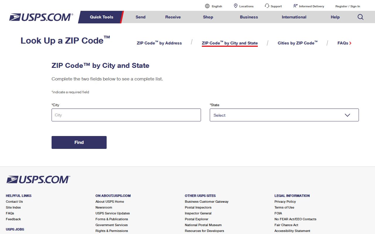
Use the returned ZIP as the mailing result for that address and retain the complete address entered. It can be compared with a property location later, but it should not be treated as a Pottstown resident list or proof of current occupancy.
Pottstown ZIP Code Postal Names
Pottstown is a place name used in both municipal and postal contexts. That is why 19464 can include the Borough and nearby Pottsgrove township area, and why 19465 matters as a North and East Coventry grouping with a Pottstown mailing-name ambiguity. Neither fact changes which government keeps a property, permit, or deed record. Confirm the municipality shown on the County property result and the legal description in a recorded instrument rather than relying only on the ZIP code.
This geography is especially important for family history and property research. An old notice, directory entry, or envelope can use a postal place name that does not describe the current Borough boundary. The right response is to keep the date, address, parcel clue, and source type together.
Note: A Pottstown postal label can be accurate for delivery while still being incomplete for a municipal records search.
Pottstown ZIP Code Property Search
Montgomery County Property Records is address, parcel, advanced, map, and sales based. The publicly inspected navigation did not show a verified ZIP filter, so a Pottstown ZIP code directory cannot promise a County list of people or parcels by ZIP. Instead, first verify an individual address with USPS, then use the address or parcel route to locate the relevant County record. Owner-name searching has been removed from the County property tool.
The County Property Records home page shows the available entry paths.
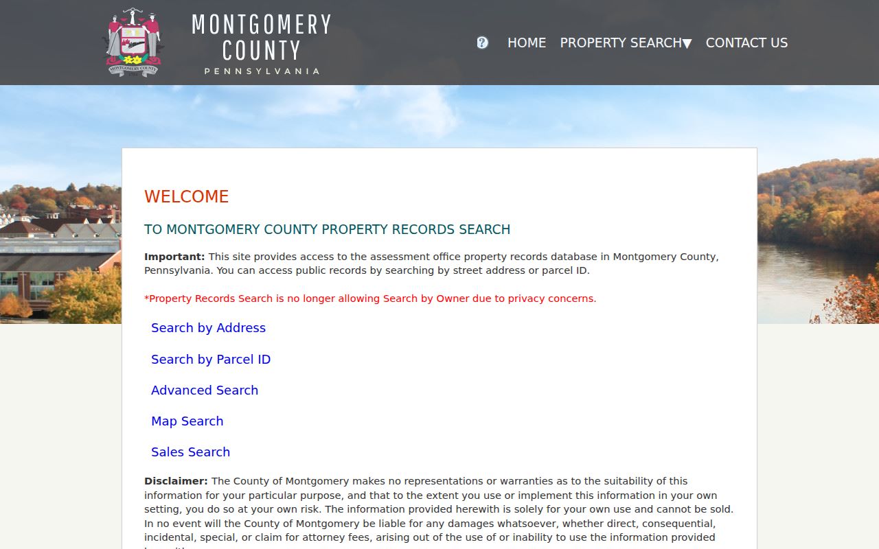
The County calls its parcel data and imagery informational and visual, not a title search. A property result can provide a parcel ID, property location, assessment context, and a last-sale reference. The owner mailing block is separate from property location and may be correspondence information. Keep it separate from the street address and from any claim about who lives there.
Finding Pottstown Residents by ZIP
A ZIP code narrows an address question, but research did not verify a ZIP-capable assessor, GIS, or voter search for Pottstown. The accurate workflow is therefore address-first rather than a broad resident search. It prevents a postal area from being mistaken for a public roster and keeps the result tied to a source that actually accepts the search input. Once an address is verified, the County property record and Recorder tools can answer parcel and title questions within their separate limits.
- Enter the complete street address in USPS ZIP Lookup and save the returned mailing ZIP. If a Pottstown city label is present, do not assume that it confirms Borough jurisdiction.
- Use the same complete address in Montgomery County Property Records. Select the address route, agree to the County disclaimer, and capture the parcel ID and property location from a matching record.
- Compare the property location, municipality, and postal ZIP. When the result is near a boundary, use the County map and Borough Area Maps for geographic context rather than creating a ZIP-wide list.
- For an ownership trail, use the parcel ID, address, or recorded party in the Recorder's Public Access System after account creation. Record the deed placement and property description.
- For an older address form, test the historic street name and legal-description clues. City labels and ZIPs can change independently from street names and municipal boundaries.
When the ZIP question has narrowed to one street and parcel, the address sequence belongs on the Pottstown Street Directory. It follows the property and Recorder chain without suggesting that a postal area supplies a complete list of residents.
Pottstown ZIP Code Boundaries
Pottstown Borough lines and ZIP code boundaries serve different purposes. The Borough is a municipal jurisdiction, while USPS ZIP codes organize mail delivery. A Census ZCTA is a statistical area that approximates ZIP geography, but it is not the same as a Borough boundary. For Pottstown, 19464's ZCTA is larger than the Borough, and 19465 should be discussed only as the documented postal-name ambiguity outside verified Borough ZIP geography.
Use this boundary rule when records disagree. A Borough permit request should be addressed to the Borough custodian for the parcel's municipality. A County property search should use its address or parcel key. A USPS result should be retained as postal evidence. Each can be true at the same time without being interchangeable.
- ZIP versus ZIP+4
- A five-digit delivery area is the ZIP; the added four digits refine a delivery segment or address. Neither establishes a Borough boundary.
- PO Box ZIP
- A ZIP assigned for PO Box delivery. No separate Pottstown Borough PO Box ZIP was verified in the research.
- Unique ZIP
- A ZIP used for a single institution or organization. No unique Pottstown Borough ZIP was verified in the research.
- Carrier route
- A mail-delivery grouping within postal operations. It is not a public directory of people at the addresses on that route.
Pottstown ZIP Code Map History
Postal geography is only one part of Pottstown's records geography. Borough annexation records identify additions from Lower, Upper, and West Pottsgrove in 1930, 1942, 1962, and 1966. The official streets appendix also says O Street became Quinter Street and P Street became Rowan Alley in 1924. Water Street became Industrial Highway between Moser Road and Hanover Street in 1967. Paper Street was ordained and vacated between Lincoln Avenue and Spruce Alley on February 9, 2026.
These events do not prove a ZIP change. They explain why an older Pottstown address may need a historic street name, a lot clue, or a legal description before it can be matched to a current postal result. The Borough's Directory, Street, and Ward maps provide municipal context, while USPS supplies the address-level postal check.
Pottstown ZIP Code Address Keys
After a USPS result is verified, the County address form makes the next match more precise. Number is optional text, Direction is an optional selection, Street is required text and allows an asterisk wildcard, Suffix is an official selection, Unit # is optional text, and Municipality can be limited to POTTSTOWN. The parcel route expects the 12-digit Parcel ID without hyphens and also allows an asterisk wildcard. Those are property-search keys, not ZIP filters.
The official Montgomery County address-search route is shown below.
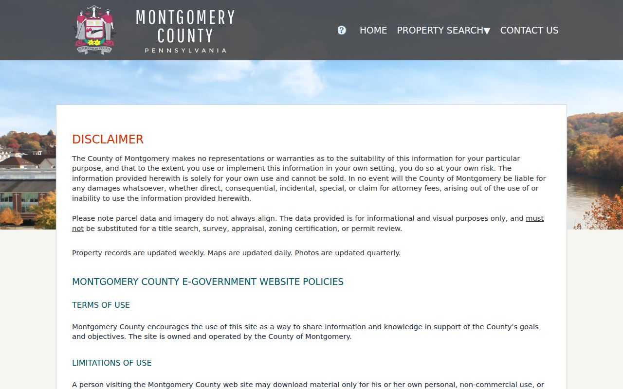
Search results can be sorted by Parcel ID, Owner Name, Property Address, Sales Date, Sales Amount, LUC, or Altid. The useful bridge is the parcel ID, which can carry an address search toward the Recorder's title index. That bridge remains address-specific and does not convert the Pottstown ZIP code directory into a postal-area list of people.
Note: A parcel ID links County record systems, while a ZIP code identifies a postal delivery area.
Pottstown ZIP Code Limits
A Pottstown ZIP code directory can verify delivery geography, identify a parcel search path, and flag municipal boundary differences. It cannot verify a person or company, establish a complete household, or provide a ZIP-wide public roster from the sources reviewed. USPS gives the address-checking channel. Property Records gives County parcel context. The Recorder gives a recorded title trail. Borough offices and Archives supply defined request and historical access channels when a screen is incomplete.
Use those sources for lawful personal, civic, family-history, estate, and anti-scam research. Keep a record's date and custodian with the result, and ask the responsible office when an error or an access limit affects the answer.